SAREnv: a shared benchmark for wilderness search and rescue
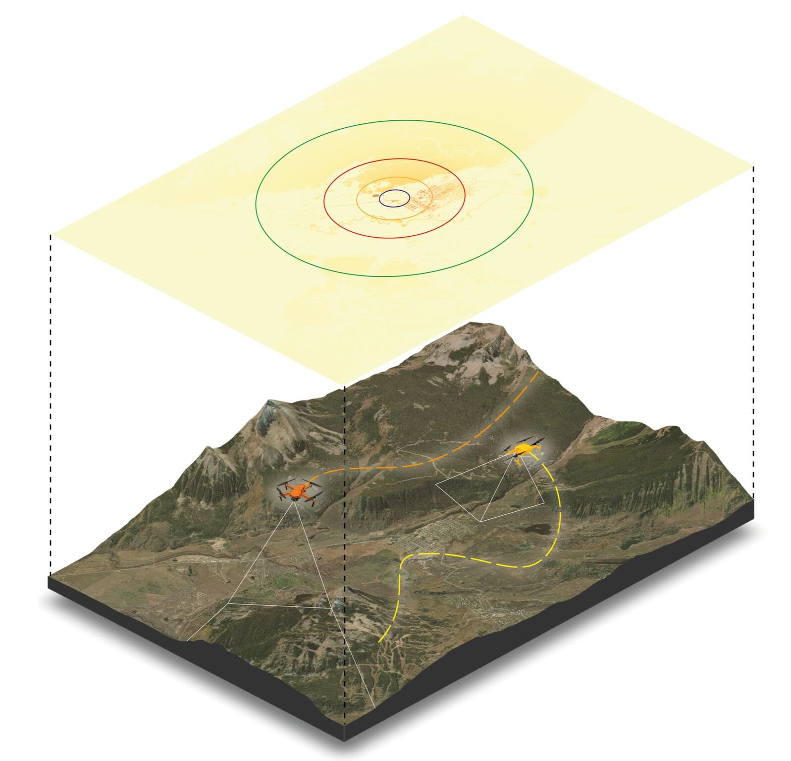
Benchmarks only work if everyone measures against the same reality. With SAREnv, published open-access in the journal Drones, we give the UAV search-and-rescue community a shared dataset and evaluation framework for informed wilderness SAR planning.
What SAREnv provides
- 60 high-resolution geospatial scenarios with probabilistic lost-person models.
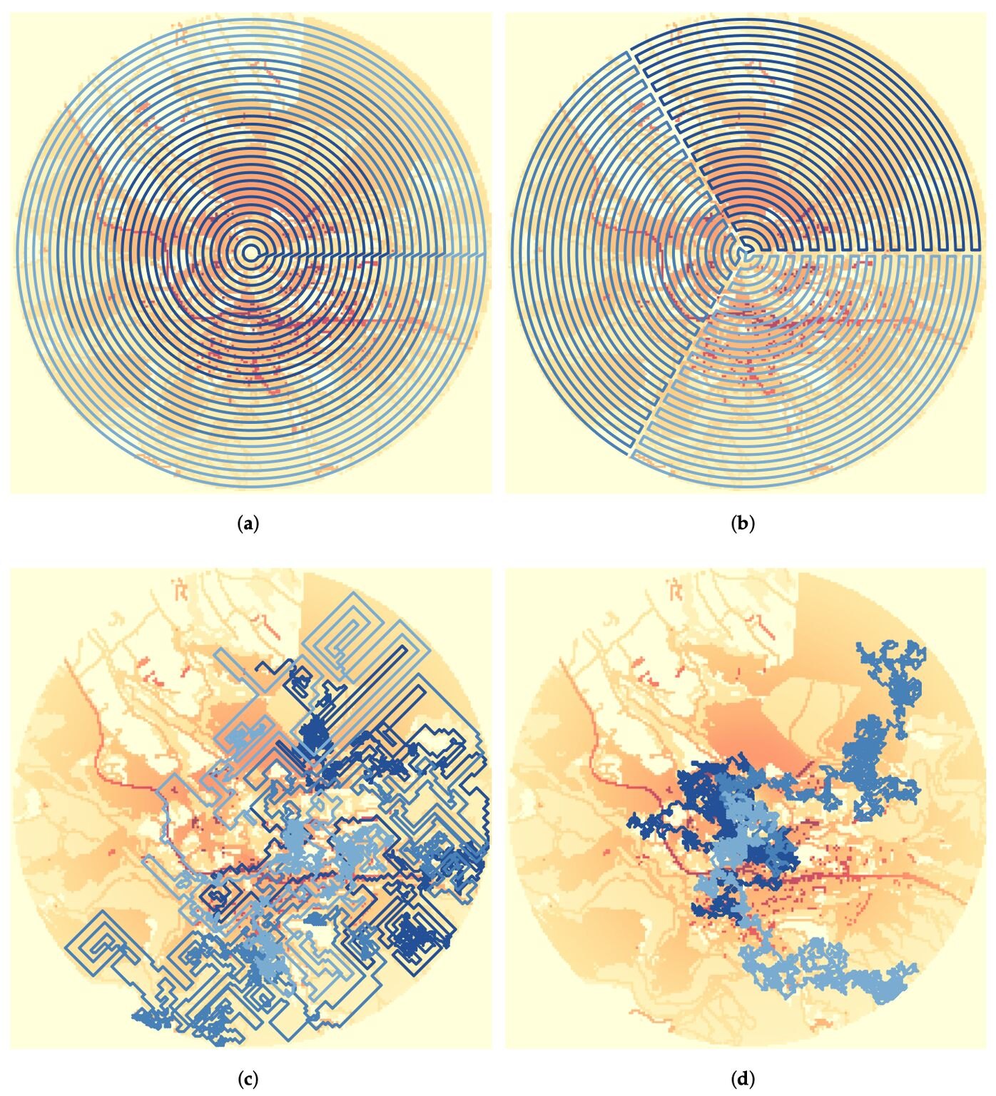
- Four baseline path-planning algorithms and three performance metrics.
- Tools to generate custom synthetic search-and-rescue datasets.
SAREnv gives the community a standardized, reproducible way to compare UAV search strategies and accelerate innovation in autonomous systems for real-world search and rescue. The project is open source and lives under the NAMUR GitHub organization, growing out of the WildDrone/HERD collaboration with the University of Bristol.
It's already being put to work: University of Bristol undergraduates extended and deployed SAREnv scenarios for their third-year projects, presented at the EuroDroS conference at SDU.
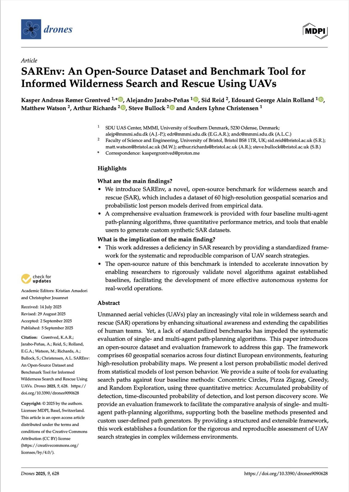
SAREnv: An Open-Source Dataset and Benchmark Tool for Informed Wilderness Search and Rescue Using UAVs
Grøntved, Jarabo-Peñas, Reid, Rolland, Watson, Richards, Bullock, Christensen · Drones 9(9):628, 2025
MDPI (open access) · DOI · GitHub · Demo video
Supported by the Innovation Fund Denmark (DIREC, 9142-00001B), the Independent Research Fund Denmark (grant 10.46540/4264-00105B, NAMUR project), and the WildDrone MSCA Doctoral Network (EU Horizon Europe, grant 101071224).